News
Node Spotlight: AfrOBIS, anchoring marine biodiversity data across sub-Saharan Africa
26 June 2026
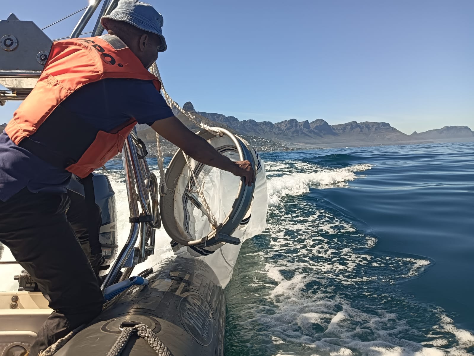
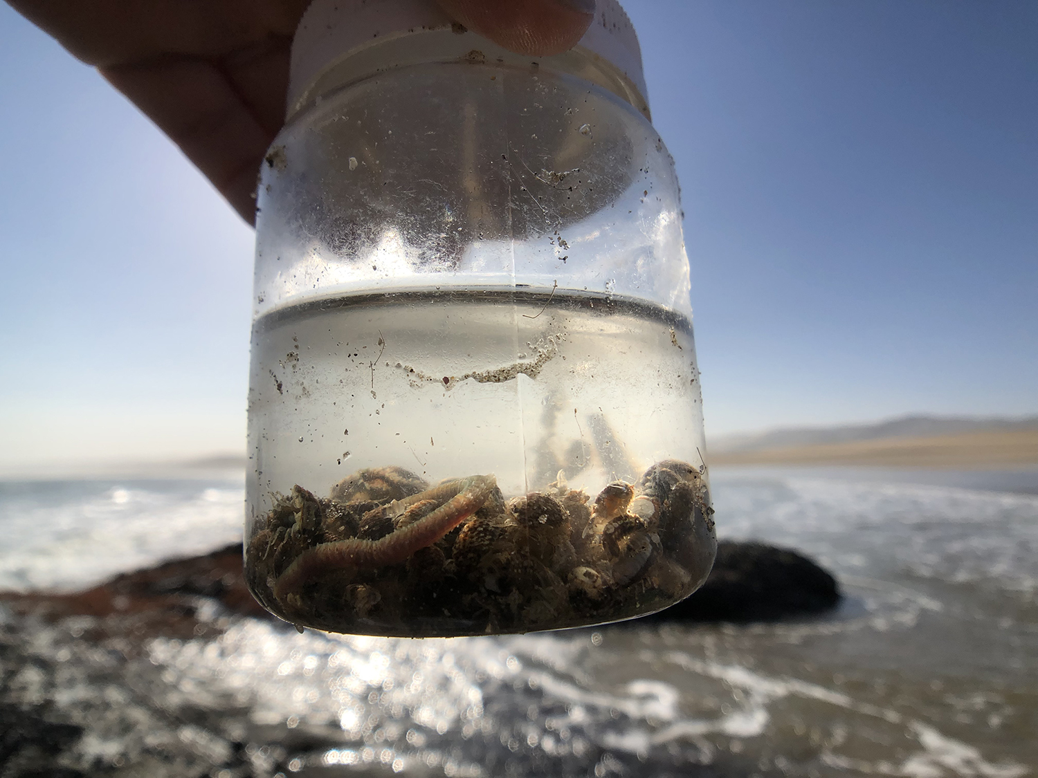
A field biologist deploying plankton nets to capture the micro-biodiversity driving our pelagic ecosystems. Photo: AfrOBIS
Based in Cape Town, South Africa, AfrOBIS, the OBIS Node for sub-Saharan Africa, contributes to coordinating marine biodiversity data from a vast region across African waters, stretching from the Gulf of Guinea to the Western Indian Ocean and the Southern Ocean. AfrOBIS is also aggregating data from two of the world’s most productive marine systems: the Benguela Current on the west coast of Africa and the Agulhas Current on the east coast. We spoke with Tshikana Rasehlomi, AfrOBIS Node and Data Manager, to learn more about the role the Node plays as a connecting point for African marine biodiversity data, the challenges of mobilizing data and engaging with providers across so many countries, and, finally, how AfrOBIS is integrating new data types such as eDNA and acoustic monitoring.
OBIS: Dear Tshikana, it’s a pleasure to have this talk with you! Could you introduce us to AfrOBIS?
Tshikana Rasehlomi: Thank you, it’s a pleasure to be here. AfrOBIS is the sub-Saharan African Node of the Ocean Biodiversity Information System (OBIS), and it acts as an open-access repository for marine biodiversity data in the entire region. It was officially launched on 1 July 2005, originally under the custodianship of the Council for Scientific and Industrial Research in South Africa, before moving to the South African Department of Forestry, Fisheries, and the Environment. It is now hosted under the Marine Information Management System (MIMS), an accredited Associated Data Unit under the International Oceanographic Data and Information Exchange (IODE) of IOC. We are based in Cape Town, South Africa. Our funding and mode of operation are tied to MIMS’ mandate for the long-term preservation of national marine and coastal data.
Could you tell us how many people are working at the Node?
Tshikana Rasehlomi: AfrOBIS operates through three specialized teams. The data curation team manages data mobilization, standardization to Darwin Core and Ecological Metadata Language, taxonomic validation, and the dissemination of digital objects. The system development team is in charge of all the archival management systems, software tools, data workflows, and, crucially, the integration of new data types. The IT infrastructure administration team handles the back-end systems and server management, ensuring smooth operations. In total, we are ten people: two biological and biodiversity data curators, two curators handling geographic and physical oceanographic datasets, two system developers, two IT infrastructure staff, and the two of us in coordination roles: myself as Node Manager and Ms Ayanda Mahanjana as my support.
That is a substantial force! Could you clarify how AfrOBIS sits within South Africa’s broader marine data infrastructure?
Tshikana Rasehlomi: South Africa used to have a National Oceanographic Data Centre called the Southern African Data Centre for Oceanography, or SADCO. Due to funding constraints and a lack of personnel, it eventually lost its NODC status. No data was lost, though: we currently manage the entire SADCO database under the MIMS system, and we are now backed by steady governmental funds, ensuring long-term financial stability. The SADCO archive is huge, with crucial historical records as far as 1911.
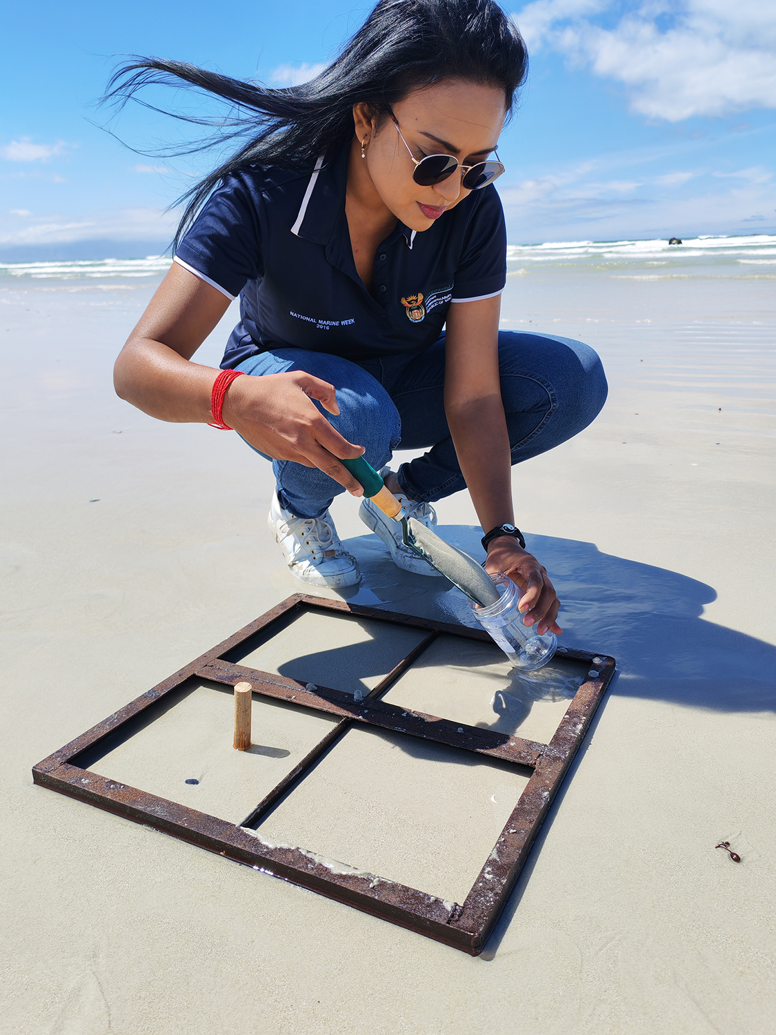
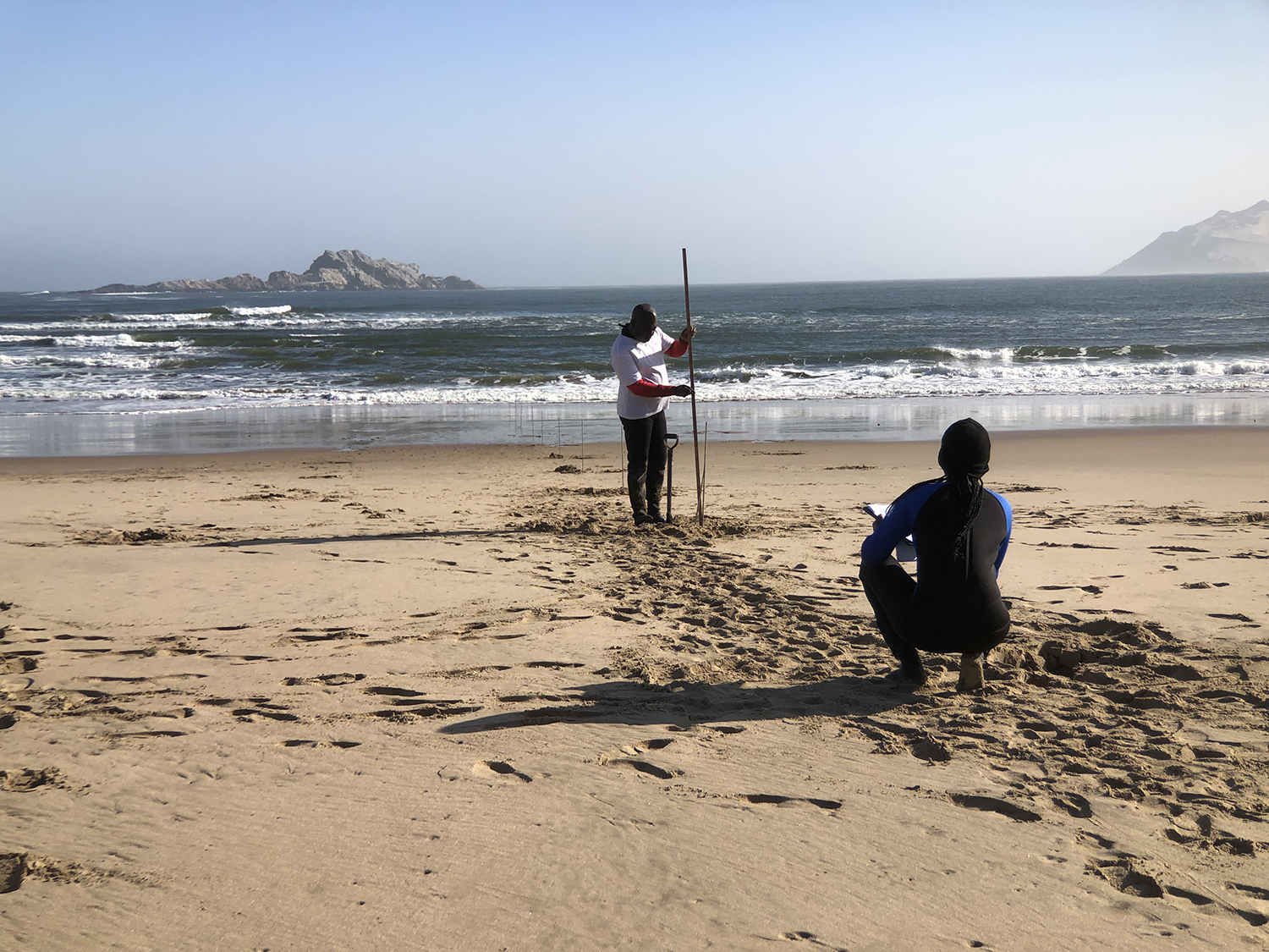
A benthic ecologist coring the intertidal sand within a quadrat to sample crucial benthic organisms. Photo: AfrOBIS
What drove the creation of AfrOBIS in 2005?
Tshikana Rasehlomi: Two forces drove the creation of AfroOBIS: making African data accessible durably and stably, and supporting evidence-based decision-making in South Africa and on the continent. South Africa always had a dual approach to marine biodiversity data, with a focus on both continental and national levels. At the end of the 90s, when marine information was extremely fragmented across the continent, South Africa decided to be the driving force that would provide an authoritative regional source for all African marine biodiversity data. The objective was to digitize, collect, and centralize existing and upcoming data to integrate it into OBIS as part of the Census of Marine Life programme, the global Sloan Foundation-funded initiative that created OBIS before it moved under the IOC of UNESCO. This pipeline was originally established through SADCO and then moved to the Department of Forestry, Fisheries, which led to the creation of AfrOBIS in 2005.
Two forces drove the creation of AfroOBIS: making African data accessible durably and stably, and supporting evidence-based decision-making in South Africa and on the continent.
The motivation for the country was to integrate African marine datasets into a global data ecosystem and to make sure that this data would remain visible and accessible. That was crucial for South African national policy, but also for bilateral and regional cooperation, as well as for international contributions. At a national level, South Africa needed to make this data accessible to support evidence-based decisions, such as the creation of marine protected areas and fisheries management. AfrOBIS continues to play the same role today: a lot of the data from AfrOBIS and the SADCO database is used for marine spatial planning across the region.
AfrOBIS occupies a unique position in the OBIS network as a regional leader. Could you tell us more about how far that reach extends, and how you balance national and regional responsibilities?
Tshikana Rasehlomi: The name of our Node says it all: we are AfrOBIS, not South AfrOBIS! From the very inception, the ambition was to cover a much wider area than South Africa alone. Today, AfrOBIS has working ties as far as Cameroon, Nigeria, and Gabon for West Africa, and as far as Tanzania for the East side, with whom, through several efforts coordinated by the IOC Sub Commission for Africa and the Adjacent Island States (IOCAfrica) and the Western Indian Ocean Marine Science Association (WIOMSA), we continue to receive data. We collaborated actively with Kenya, and we continue to cooperate now that the country has established its own Node. In the south-west, we collaborate with Namibia and Angola through the Benguela Current Convention, and we have a growing relationship with Benin, which sends us data and regularly requests training for research students in marine data management.
Going back to your question, balancing national hosting obligations with regional leadership is indeed genuinely demanding. But we now have accumulated a lot of experience and do not rely on a single institution to move things forward. We have developed an interdepartmental collaboration approach gathering institutions, state entities, and academia. A lot of the template work we now rely on was developed by a cross-disciplinary community of academic, government, non-governmental, and industry researchers. And this collaborative work has given us a strong foundation. We also have a close working relationship with the South African National Biodiversity Institute (SANBI), which hosts the country’s GBIF Node: rather than competing for datasets, we coordinate, and the GBIF Node helps researchers get their data into the right format to be published through AfrOBIS, with the metadata then harvested for GBIF.
Due to large discrepancies in structures and resources across the region, we have to overcome hurdles, of course. Some of the data we receive needs significant cleaning before it can be published, often because of infrastructure constraints in the country of origin. In the past, data sometimes arrived without sufficient clearance from its country of origin, but the IOC national focal points have been very helpful in resolving those situations. We are immensely grateful to the National Department of Forestry, Fisheries, and the Environment (DFFE), Oceans & Coasts branch, whose sole funding has enabled us to secure a dedicated team that can attend to these requests on a continuous basis, looking after MIMS, SADCO, and AfrOBIS together.
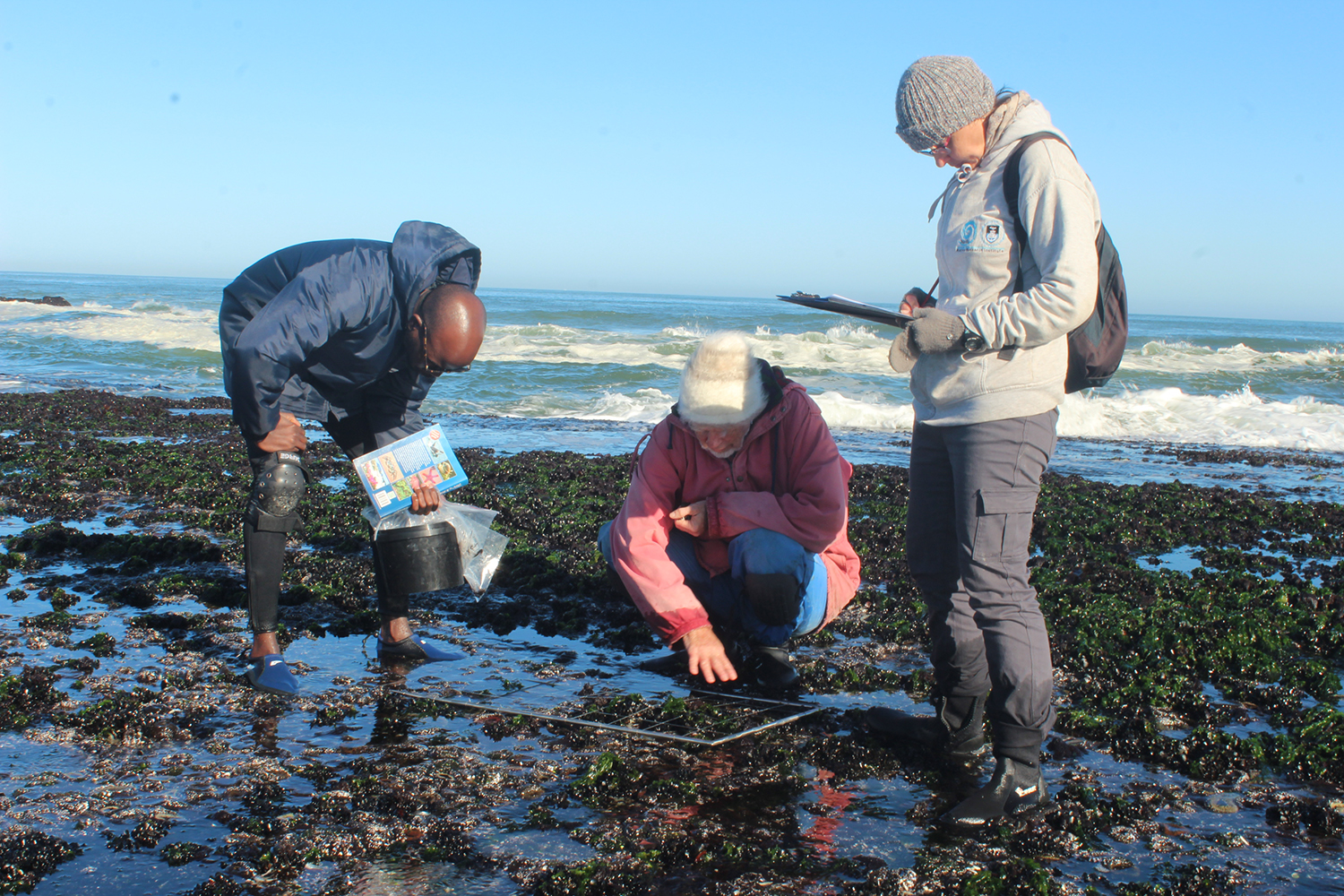
Biodiversity trackers dropping quadrats on intertidal reefs to monitor long-term abundance shifts. Photo: AfrOBIS
What are the biggest challenges you see for the marine biodiversity data landscape in your region?
Tshikana Rasehlomi: A first major challenge is funding, and specifically the funding needed to digitize historical data. A lot of African marine data still sits in hard-copy records. We have been actively supporting national partners to access GBIF funding programmes for digitization, and managed to achieve significant results: We worked with partners in Cameroon and with the University of Lagos in Nigeria, for example, both of whom later contributed datasets that flowed into AfrOBIS and into OBIS. Africa is not alone when it comes to digitizing existing data. The same issue applies far beyond our continent: many countries in the global South have data that exists and could be shared, but a lack of resources keeps it on the shelf. This is an overlooked, almost endemic challenge, and one that deserves much more attention and funding. It is not only about biological data, either. Pre-industrial oceanographic and climate datasets dating back to the 1950s exist across the Indian Ocean Rim countries, for example. Initiatives like the Indian Ocean Data Rescue Initiative (INDARE), run by the World Meteorological Organization, did help some island states, including Madagascar and Mauritius, until funding fell away around 2015. Reviving that kind of structured, well-funded data rescue would unlock substantial volumes of marine biodiversity data.
A second major challenge is institutional. In some countries that used to provide data to AfrOBIS, changes in leadership and the absence of clear data-sharing policies have made contributions far less predictable. The key issue is to move from a culture of data ownership to one of data stewardship, where the value of data sharing is recognized by governments and institutions. We start seeing a real shift among individual scientists, who now understand the value of data citation, recognition, and visibility across borders. The remaining difficulty is convincing the leadership of their institutions to formalize that openness in policy.
We invest heavily in capacity building. Over the years, we have run data management workshops and training sessions across the region
How do you incentivize data holders, whether researchers or institutions, to share their data through AfrOBIS?
Tshikana Rasehlomi: We invest heavily in capacity building. Over the years, we have run data management workshops and training sessions across the region, focused on the FAIR, CARE, and TRUST principles, and on the long-term value of making datasets visible and findable. When researchers understand that their datasets will receive persistent identifiers (DOIs) and proper citations for their datasets, the conversation shifts very quickly.
A good example is a workshop hosted by the University of Lagos in Nigeria and regional partners a year and a half ago, which we contributed to. We wanted to introduce AfrOBIS as a Node of choice to researchers and students who were already using OBIS data, often without even realizing that there was an existing African Node feeding into the platform. We covered the OBIS tools, and we ran practical sessions on tidying up data and moving it from Excel or CSV into Darwin Core, so it would be publication-ready. We had GBIF colleagues join us to explain the complementarity between OBIS and GBIF: once data is in Darwin Core, it can flow to both. The two global systems now harvest the data and metadata from AfrOBIS following the principle “publish once - harvest many times”. A big part of our role in those workshops is also helping partners to recover the descriptive metadata that very old datasets often lack, since metadata is what makes data reproducible and reusable.
How is AfrOBIS adapting to new data types such as eDNA, acoustic monitoring, and imagery?
Tshikana Rasehlomi: We have just finalized a Darwin Core-compliant biological schema that allows us to ingest a much wider range of data than before. It was a response to the growing volume of data sitting in MIMS that had not been properly archived, and to the rise of new data types: underwater imagery with automated species annotation, acoustic monitoring, and environmental DNA. South Africa is a natural gateway for Antarctic whales moving towards Europe, with most of them passing through the Benguela Current Large Marine Ecosystem on the west coast, so we have built up significant acoustic datasets on whales and other marine mammals.
eDNA is the newest frontier. It started for us as a smaller project looking at the Cape Canyons off the west coast, and grew into a study of the genetic connectivity of the network of marine protected areas along that coast. When the data came in, I was struck by how complex it was. Fortunately, our biological data curators came from the South African National Biodiversity Institute, where many of them had been part of the GBIF technical group, and that experience fed directly into the development of the biological schema. They are now applying it to data from both internal and regional scientists, especially in support of marine spatial planning. eDNA formed a key part of recent ministerial discussions on the Blue Ocean economy, paving the way for dedicated infrastructure investment in this sector. We also look forward to collaborating with the eDNA Expeditions 2026-2028 project!
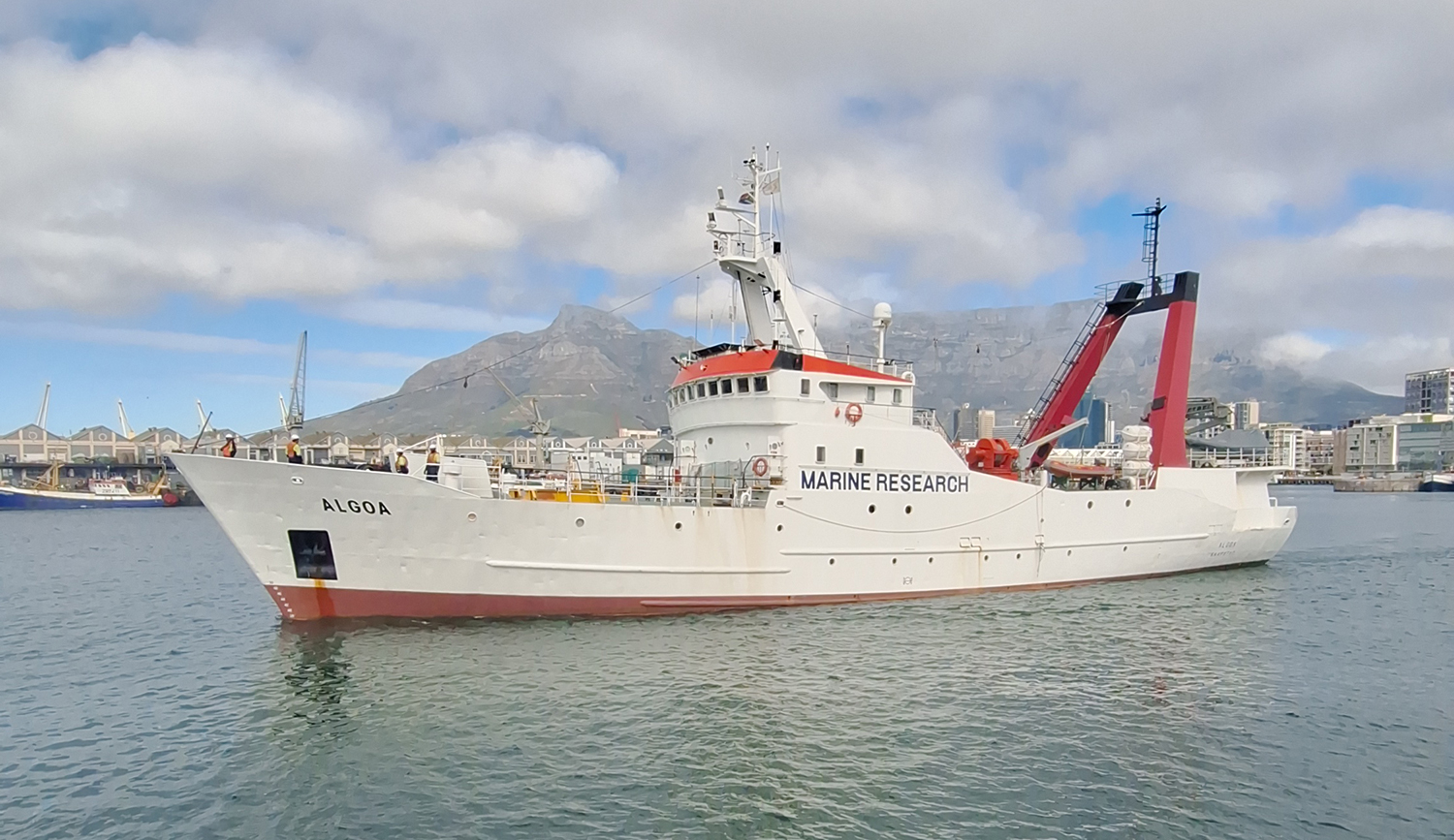
FRS Algoa setting sail for deep-sea biodiversity and oceanographic mapping. Photo: AfrOBIS
How has AfrOBIS data been used to support marine policy and reporting?
Tshikana Rasehlomi: AfrOBIS has played a direct role in the design of marine protected areas in South Africa. In the framework of the 30 per cent target by 2030, AfrOBIS and SADCO have been at the forefront of providing the baseline data needed to establish new MPAs based on evidence rather than expediency. These MPAs extend into Namibian waters as well, because we share migratory species — sardine, anchovy, tuna, and some hake stocks reach as far as Namibia. The Benguela Current Convention, which brings together South Africa, Namibia, and Angola, allows us to use historical data to support that joint planning.
Beyond MPAs, AfrOBIS data have supported the protection of marine top predators, including the endangered African penguin and the Cape gannet colonies along the west and south coasts. Some of these colonies have been designated as protected areas precisely because AfrOBIS data shows long-term declines linked to climate change and to the overfishing of sardine and anchovy. Policymakers have directly come back to AfrOBIS to look at the data we hold, and that has provided the baselines for the designations.
We are also regularly asked to provide input into reporting under the Convention on Biological Diversity, and the BBNJ Agreement is increasingly part of the conversation as well. A national focal point connected to WIOMSA, covering Kenya, Tanzania, Uganda, Mozambique, and South Africa, represents the region in BBNJ negotiations. The direct contribution from AfrOBIS as a data manager to those discussions is still in the making. The expectation across departments is that standardized data flowing through us will increasingly support reporting against the BBNJ Agreement, the African Union Blue Economy Strategy, and other global frameworks.
A marine explorer catching and cataloging intertidal macrofauna along Africa's dynamic coastlines. Photo: AfrOBIS
Is there a dataset or project within AfrOBIS that you are particularly proud of?
Tshikana Rasehlomi: It would be very difficult for me to single out one dataset! But I am particularly happy with the linefish fisheries surveys, because we are now using them as a technology demonstrator. We have built dashboards showing how the species have been performing in terms of catch per unit effort, and that work is feeding into legislation on total allowable catch in South Africa. To see data move from collection to archive to legislation is genuinely rewarding. Policymakers do not always see the work involved in standardizing data to that level, but when you can show them the outcome through a dashboard, the appreciation is immediate.
Being part of the OBIS community means we can contribute to a truly global ocean data ecosystem while representing the interests of the sub-Saharan African region
Are there ongoing partnerships or collaborations you would like to highlight?
Tshikana Rasehlomi: Our partnership with the Benguela Current Convention stands out: they are currently part of the Technical Advisory Group that guides both AfrOBIS and MIMS. Through our interactions with Norwegian biologists and with the Nansen research vessel programme, we share data standards, methodologies, and approaches to managing marine biodiversity data. That is a long-term collaboration I am very proud of.
A more recent development is a partnership with the agency representing our national Navy. Naval ships reach places that research vessels typically do not access, and they have collected acoustic data while studying the impact of naval operations on whales, dolphins, and other species. In the past, this kind of data would have stayed strictly within defence. In the interest of openness and transparency, the relevant agency representing the Navy is now willing to share these acoustic datasets and other operational oceanography data through AfrOBIS and MIMS. It is a real breakthrough, and I am very curious to see how the partnership between government scientists and the naval service will evolve.
Eco-detectives coring and profiling sandy shores to map vulnerable baseline ecosystems. Photo: AfrOBIS
Do you collaborate with other OBIS Nodes, and what does being part of the OBIS community mean to you?
Tshikana Rasehlomi: We do collaborate with other Nodes, most recently with OBIS Kenya, and with OBIS Norway through the South African GBIF Node. In 2024, while I was in Norway, we developed a funding application together with OBIS Norway and the Institute of Marine Research (IMR) in Bergen. The relationship continues, and we are working on joint data management activities for the data collected between our two countries.
Being part of the OBIS community means we can contribute to a truly global ocean data ecosystem while representing the interests of the sub-Saharan African region, as well as the Global South perspective that was missing for a long time. Beyond representing my own Node, I am representing the aspirations and the work of many scientists across Africa whom I may never meet, but whose data carries the weight of their commitment to marine and biodiversity conservation.
What is on AfrOBIS’s horizon for the coming years?
Tshikana Rasehlomi: Several priorities. We will integrate the new fisheries and naval acoustic and other operational oceanography datasets, adopt JupyterHub in line with what OBIS is doing to support reproducible data work, and roll out map-based spatial discovery tools and dashboards for decision-makers and policymakers across the region. And, very importantly, we will continue to support more African nations in managing their own data, so that more of it flows through AfrOBIS and into OBIS.
Last question: if you had a magic wand and could change one thing about marine biodiversity data in Africa, what would it be?
Tshikana Rasehlomi: A cultural mindset shift: from data ownership to data stewardship. Breaking down data silos, improving institutional willingness to share, and securing the funding needed to digitize historical records, so we can finally unlock the continent’s ocean economic potential. ◼️
→ Explore all AfrOBIS’s data here.
→ Find more info about what an OBIS Node is and how to become an OBIS Node, see https://manual.obis.org/nodes.html#obis-nodes